|
|

|

SaVoir V4.3.0 (27/ 08 / 2010)
| New features | |
|---|---|
| 1 | New workspace format allows more powerful saving and loading of a given workspace status. It allows to save the Camera projection, current simulation time and saving vectors associated to satellites. Workspaces saved in older formats are still readable with SaVoir. |
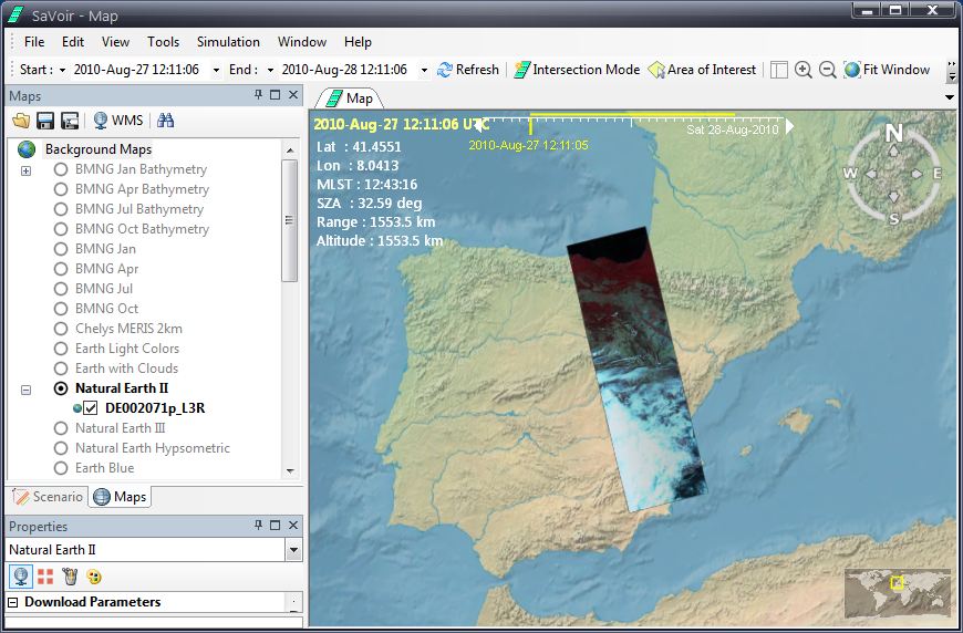
| 2 |
New feature: SaVoir can now import georeferenced images in KMZ
|
| 3 | Style defaults are extended with Satellite Default styles, which allow defining default styles for satellite text rendering. They can be configured in the Edit / Properties / Satellite/ Satellite Default Styles. |
| 4 | Cloud server address can now be modified and configured (it was hardcoded before). See Edit / Properties / Maps / Map Options. |
| Fixed source | |
| 1 | Fix in Edit / Property pages: parameters will not be modified if the user exits with Cancel. |
| 2 | Fix in Styles property grid: the Text Box checkbox is now updated when the user selects or unselects it. |
| 3 | Fix in Text Box behavior: The Text Box appears behind the Satellite Model. This is now fixed to appear in front, so is always visible when selected. |
| 4 | Fix in the render of lines with Pen Width different than zero. It did not work in recent versions, is now fixed. |
| 5 | Fix in the XML handling of parameters with units. Before SaVoir could not read units different than the default units. |
| 6 | Fixed problem with rendering of two-axis steerable 3D Models, like the ground station antennas. Before when tracking one satellite from two antennas that used the same 3D Model instance the pointing was incorrect due to an error in the handling of pointing matrices and the definition of Model parameters in Models.xml file. |
| 7 | Fixes in the import of multipart shape files, to allow selection of specific parts individually. |
| Configuration updates | |
| 1 | New satellite 3D models available for Sentinel-2 and Formosat-2. |
Multisatellite Swath Planner - © Taitus Software Italia srl All rights reserved- info: support@taitus.it