|
|

|

Resolution
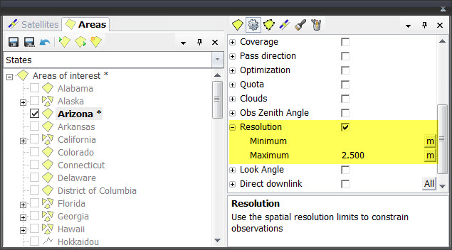
The spatial resolution is the pixel resolution in the resulting image measured as a distance on ground, at the center of the swath.
When the Resolution constraint is active any swath with resolution outside of the defined minimum and maximum values will be discarded.
Each sensor mode has a configured spatial resolution. In case of continuously steering sensors, the resolution of candidate sensor modes will be calculated from the nadir field of view resolution and the corresponding tilt.
Multisatellite Swath Planner - © Taitus Software Italia srl All rights reserved- info: support@taitus.it