|
|

|

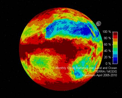
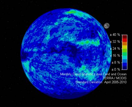
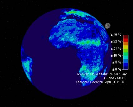
Cloud Maps
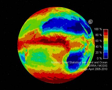
Cloud Cover Statistical maps have been obtained by processing TERRA / MODIS sensor data of NASA’s NEO server.
The new maps are available at a resolution of 0.1 degree (geographic).
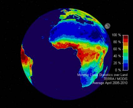
Here below there are some sample Cloud Statistical maps for the month of April (Land & Ocean and Land, Average, Minimum, Maximum and Standard deviation)
| Land & Ocean | Land | |
|---|---|---|
| Avg |
|
|
| Min |
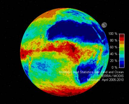
|
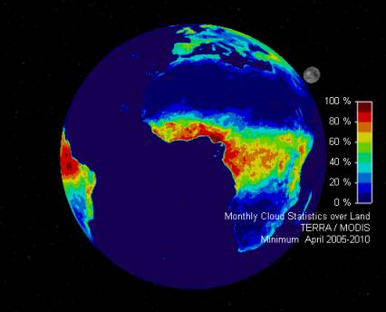
|
| Max |
|

|
| Std Dev |
|
|
All Images (c) NASA’s Earth Observatory, processed by Taitus Software
Multisatellite Swath Planner - © Taitus Software Italia srl All rights reserved- info: support@taitus.it