|
|

|

Creating intersections with a fixed sensor
Open scenario "Sentinels".
SelectLandsat-9 and OLI
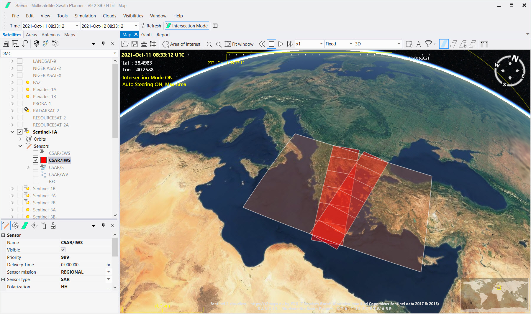
Once the time period, area(s) of interest and satellite(s)/ sensor(s) have been chosen SaVoir will calculate the satellite swath intersections with the defined area of interest for the given period and represent them on the Map view.
Set Intersection Mode ON.

Press Refresh to trigger calculation of intersections between sensor footprints and AOI

 Note:
Intersection Mode must be turned ON to calculate immediately the swaths (this is the default). This mode
can be toggled on/off by clicking on the icon in the main Toolbar. When the mode is OFF, full
satellite swaths for the entire scenario are displayed.
Note:
Intersection Mode must be turned ON to calculate immediately the swaths (this is the default). This mode
can be toggled on/off by clicking on the icon in the main Toolbar. When the mode is OFF, full
satellite swaths for the entire scenario are displayed.
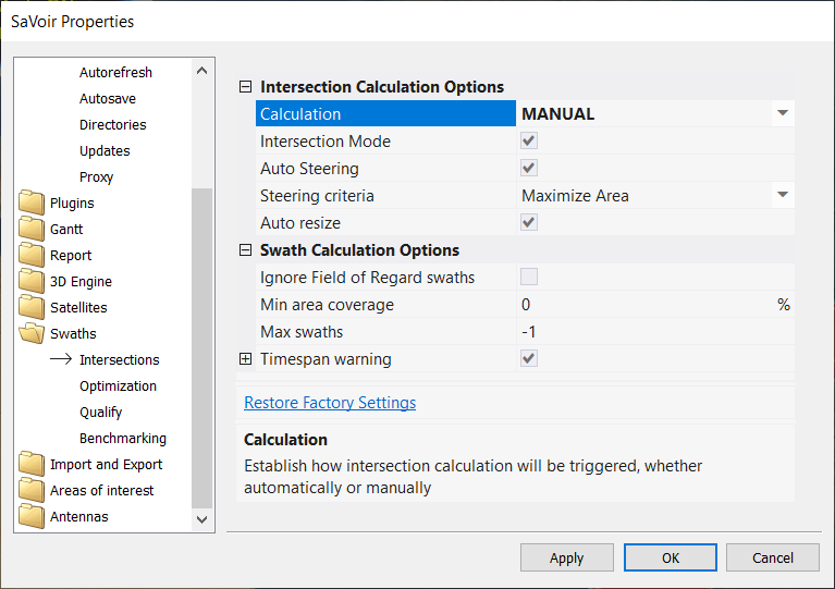
Note:In Intersection Mode intersection calculation will be triggered automatically when creating or selecting a new AOI, without needing to press Refresh. This might result inconvenient when setting up a scenario with several AOIs. You can change this behaviour by setting MANUAL intersection calculation in Edit / Properties / Swaths / Intersections / Calculation.
Multisatellite Swath Planner - © Taitus Software Italia srl All rights reserved- info: support@taitus.it