|
|

|

SaVoir V9.0.0
| New features | |||||
| 1 |
New Undo / Redo functionality over most editing actions in the GUI. Activate it via short cut keys (Undo = Ctrl + Z, Redo = Ctrl + Y) or via menu Edit / Undo and Edit / Redo The Undo stack is reset every time a new scenario is loaded and every time a new intersection analysis is performed. |
||||
| 2 | Sensor steering algorithm has been revisited to improve its performance, in particular when targeting small areas of interest. | ||||
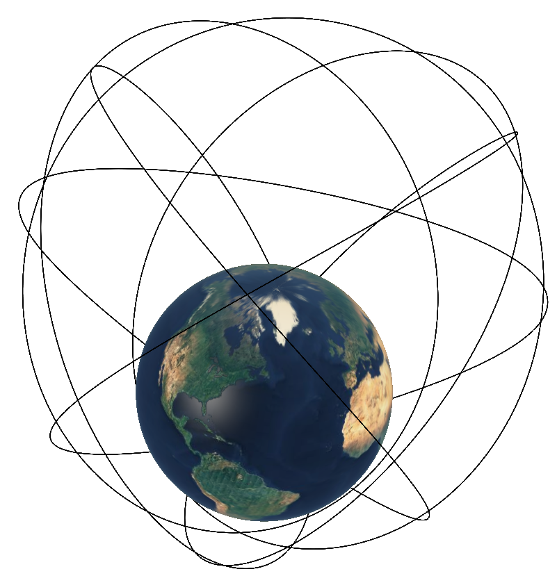
| 3 | New analytical orbit propagator modelling up to J4 perturbation. | ||||
| 4 |
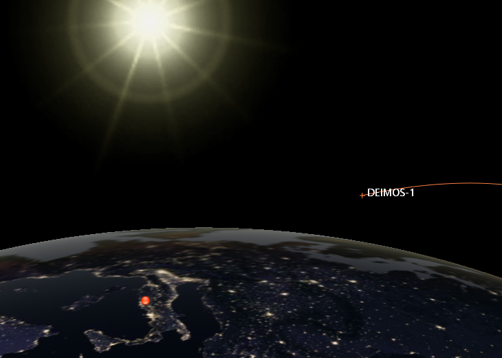
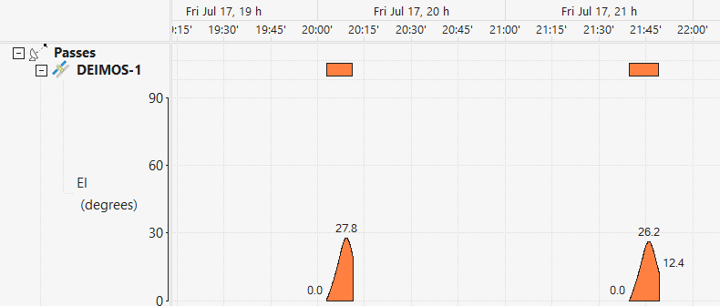
New function Satellite sighting to obtain, for a given geographical location, the timelines of visibilities of satellites that can be observed with the naked eye.
|
||||
| 5 |
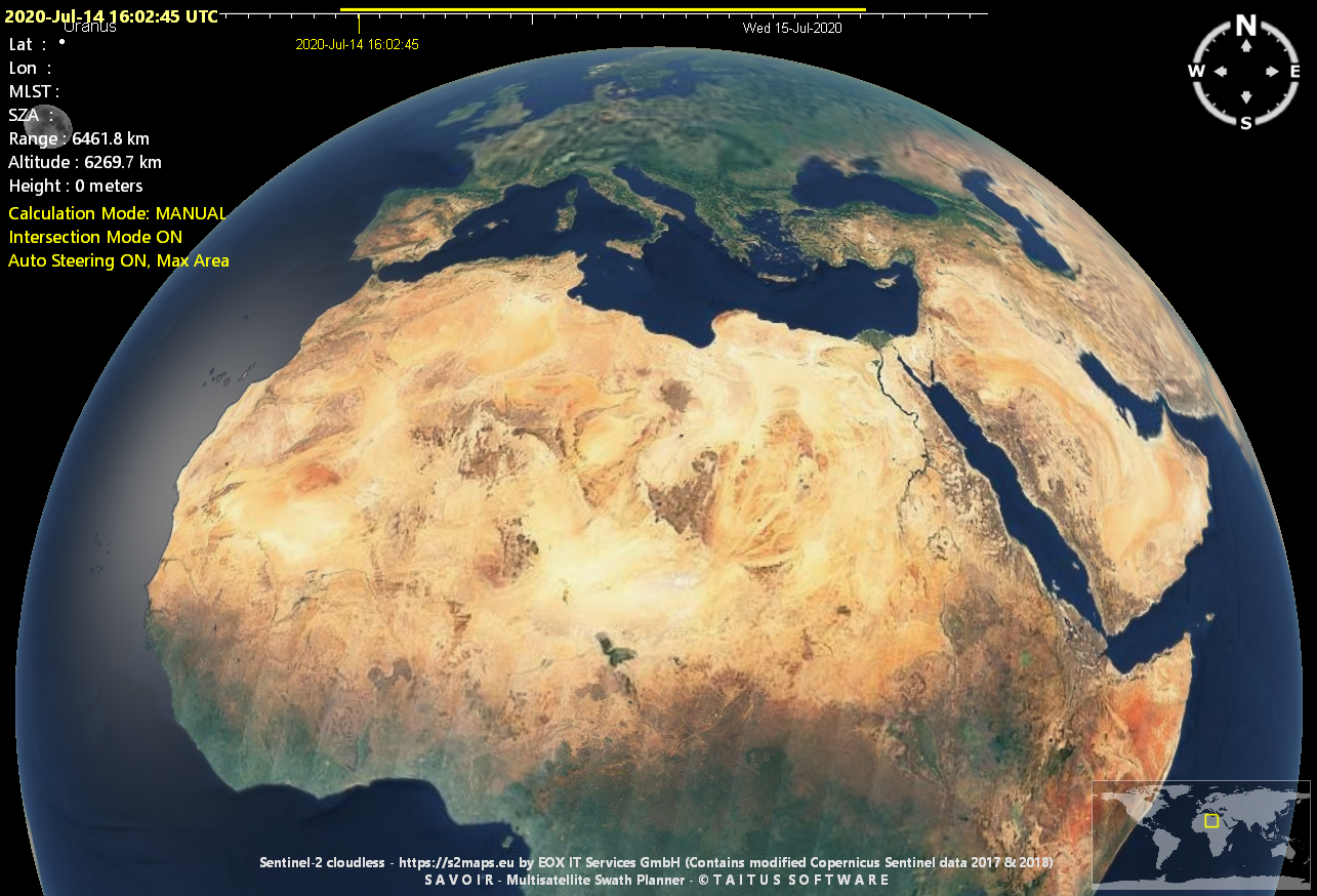
New multi resolution base map of Sentinel-2 cloudless 20 metre per pixel mosaic
|
||||
| 6 |
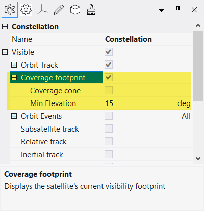
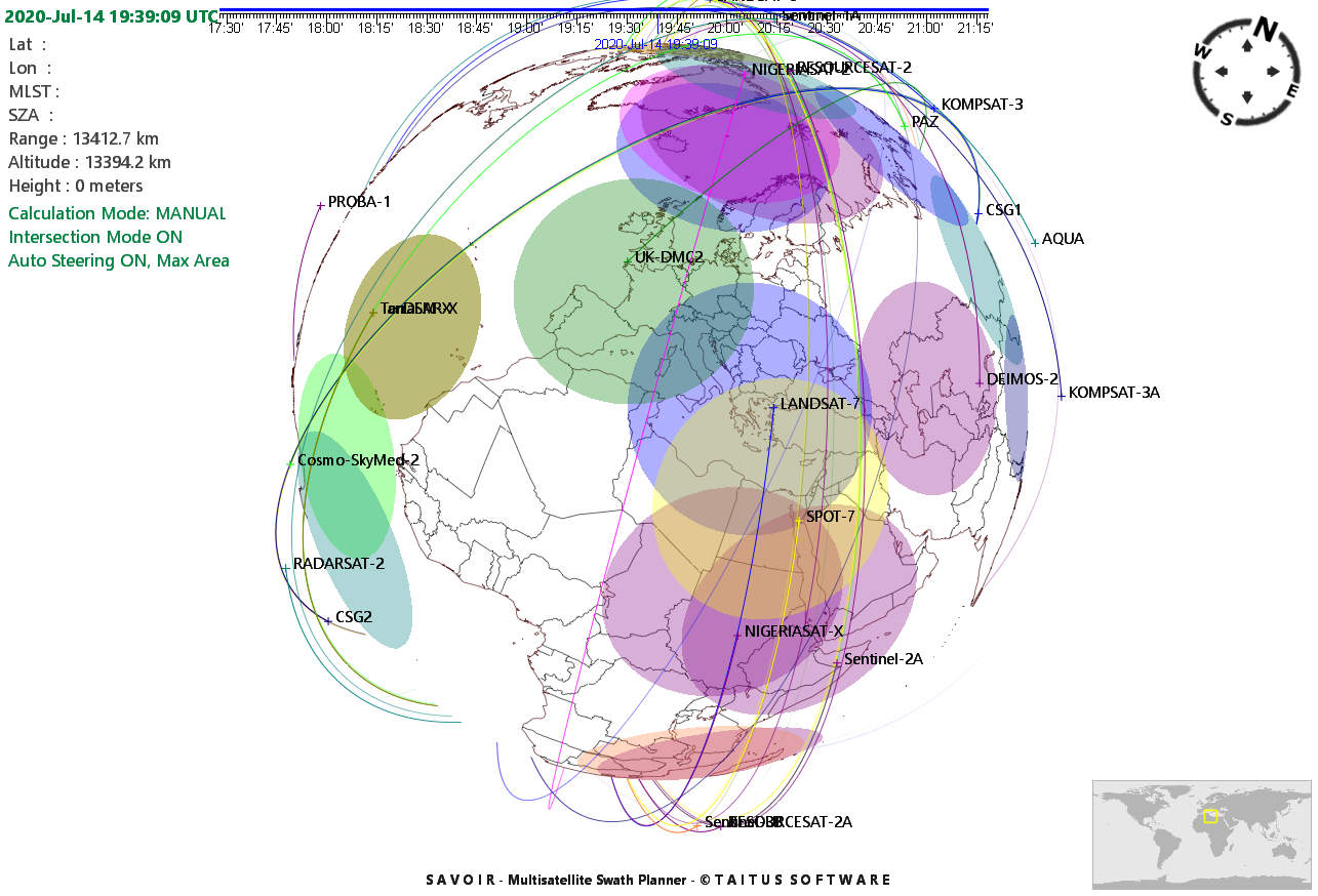
New satellite coverage footprint, showing in real time the instantaneous satellite conical visibility footprint on the Earth surface
|
||||
| 7 |
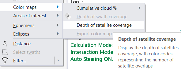
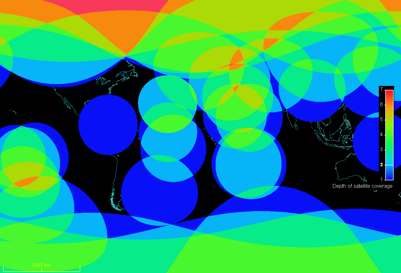
New function to show in real time the Depth of Satellite Coverage which displays in a global map the number of satellites visible from any geographical location at any time instant. This is accessible from the Tools / Color maps menu
|
||||
| 8 |
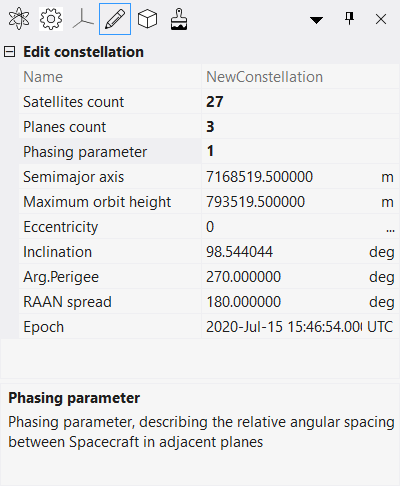
New design of the constellation wizard and new constellation types, including
|
||||
| 9 |
Constellations are now kept with their constellation type identities, allowing to edit and modify them dynamically from the constellation edition properties pane. This permits to modify a constellation by changing its common characteristics (e.g. number satellites, inclination, orbit height, etc) and obtain immediately a visualization on the map without needing to re-open the constellation wizard.
|
||||
| 10 |
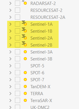
New function to use externally provided Mission plans, available for Sentinel-1, Sentinel-2, Landsat-7 and Landsat-8
|
||||
| 11 |
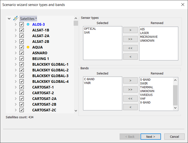
New scenario wizard to define your own scenarios starting from the full satellite database. Accessible from the menu Edit / Wizards / Scenario wizard ...
|
||||
| 12 |
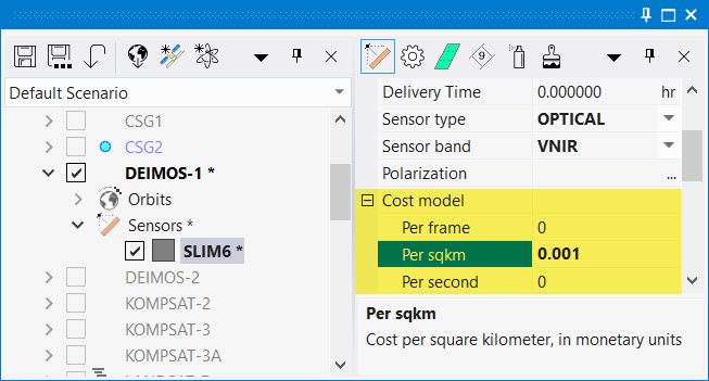
New Cost model added to sensor configuration, it allows to calculate price per acquisition based on few criteria.
|
||||
| 13 |
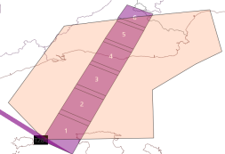
Now it is possible to define swath framing with a certain amount of overlap between frames defined by the Frame overlap in seconds.
|
||||
| 14 |
New multi-beam sensor steering mode, in which the satellite will operate all the defined beams, each with its Field of View, in a simultaneous way.
|
||||
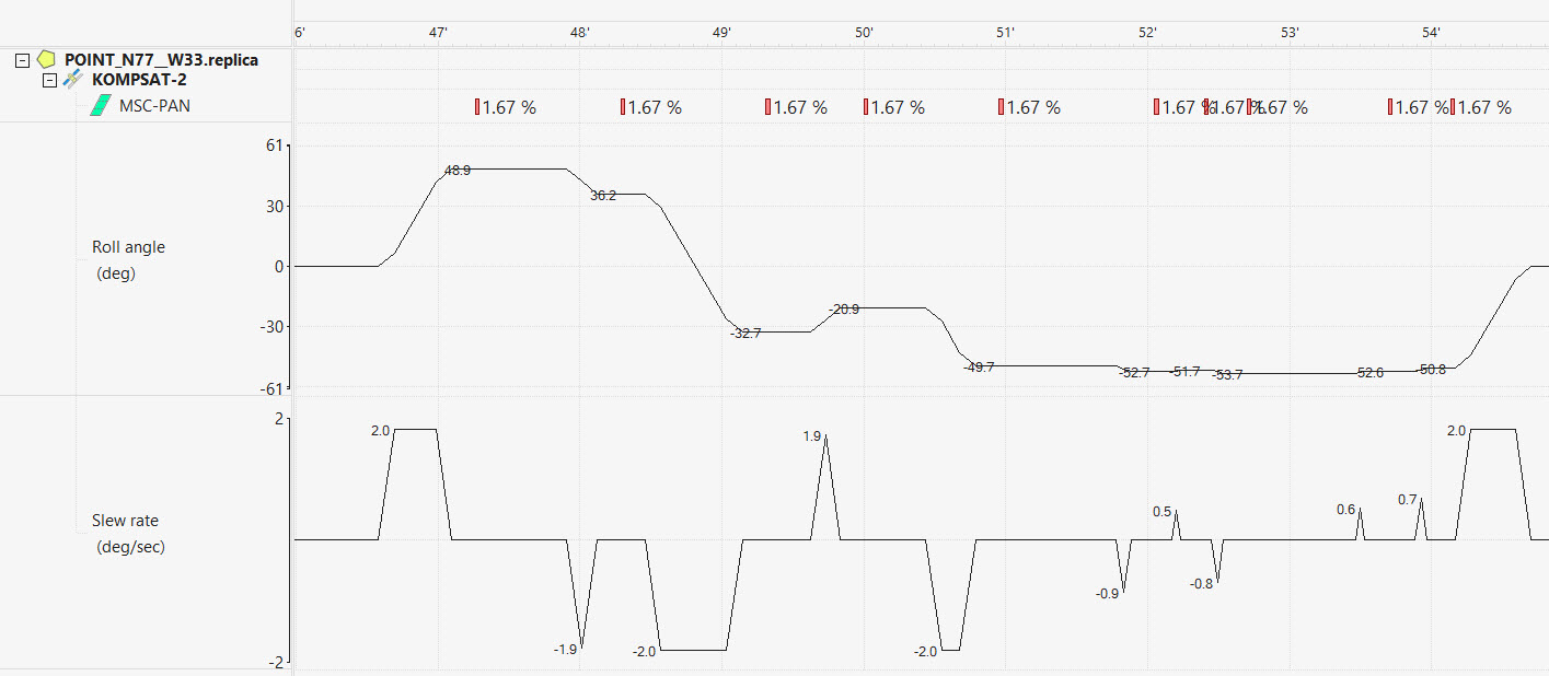
| 15 |
New Gantt function to plot the roll and slew rate progression of an agile satellite when changing roll angles. It allows to verify correct implementation of transition time constraints and respect or the maximum slew rate, acceleration, and stabilization times
|
||||
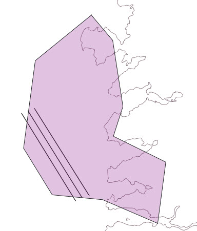
| 16 | New Synergic constraint applicable to Areas of Interest, to remove "lone" acquisitions, will keep only the synergic ones, identified by minimum time gap between consecutive acquisitions from different satellites. | ||||
| 17 | Added "minimum center elevation" to the antenna Elevation constraint. | ||||
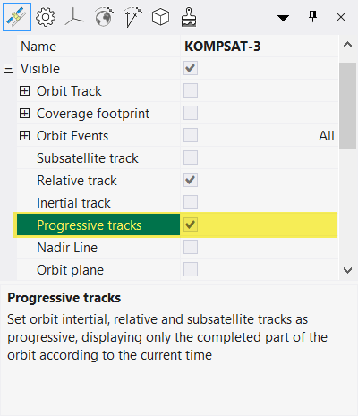
| 18 |
New "Relative track" option to visualize the orbit track in space, relative to the fixed Earth. This adds to the existing "Inertial track" which visualizes the orbit track in space, relative to the inertial Earth.
|
||||
| 19 |
New Progressive tracks option to display sub satellite tracks, inertial tracks and relative tracks, progressively with time, displaying only the completed part of the orbit according to the current time.
|
||||
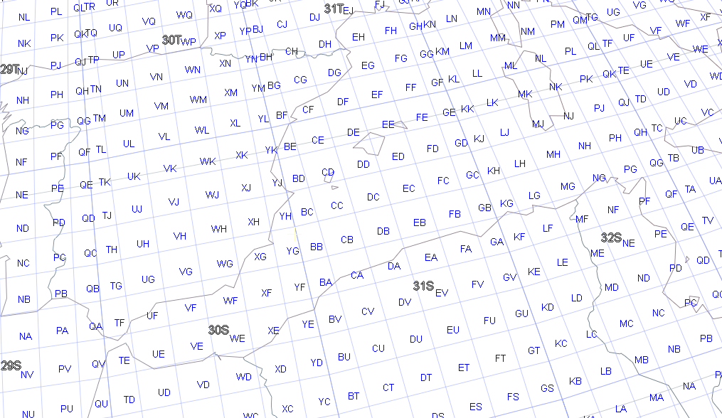
| 20 |
New visualization of grid lines in MGRS (Military Grid Reference System) and International Date Line.
|
||||
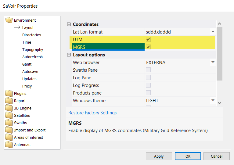
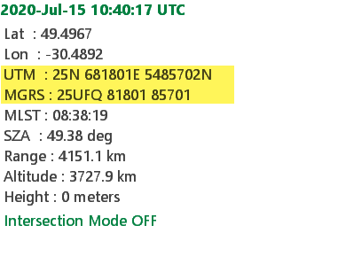
| 21 |
New function to display the current mouse location in UTM and / or MGRS coordinates. The option can be activated via Edit / Properties / Environment / Layout.
|
||||
| 22 |
Import and export functions have been added in File menu to allow importing and exporting planning files in several common formats: - ESA Sentinels format (KML and CSV) - EMSA EODC format (XML) supporting schemas 1.3, 1.4 and 2.0. - Radarsat-2 APT format (.acp) EODC Schema and options can be configured in Edit / Properties / Import and Export / EODC. |
||||
| 23 |
New customization of menus and toolbars. You may add, modify or remove menu and toolbar entries and make the changes persistent throughout SaVoir sessions |
||||
| 24 | New swaths pane to allow editing swath groups with an improved user experience | ||||
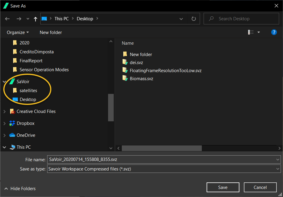
| 25 |
Persistent load and save folders. Whenever the user opens a File dialogue for loading or saving files, SaVoir will open the latest folder used, contextually with requested action. The File dialogue also includes entries for the last folders used.
|
||||
| 26 |
Gantt and / or Report view can be made to be displayed on demand. By default both are active and will be opened whenever the user obtains a result of intersection or optimization analysis or generation of visibility timelines. Now it is possible to open them only on-demand: - set Gantt to be NEVER generated (Edit / Properties / Environment / Gantt /Generate Gantt = NEVER) - set Report to be NEVER generated (Edit / Properties / Report / Options / Generate Report= NEVER) - open Gantt or Report view only when needed from menu Edit / Create Gantt View and Edit / Create Report View This option is useful to gain time when performing frequent intersection analysis |
||||
| 27 |
Filtering of swaths is now possible also according to the swath colour.
|
||||
| 28 |
Filtering is also possible "by range" and "by value" for numerical parameters. It is possible to toggle modality with the toggle ">" button on the top right of the dialog
|
||||
| 29 | Text labels that appear in the Gantt display at the right of each task are now configurable. | ||||
| 30 |
When exporting swaths to KML or KMZ via menu Tools / Swaths / Export ..., the KML time tag is now optional
|
||||
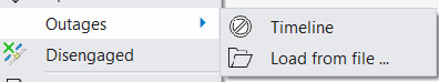
| 31 |
New function to configure outages by loading from an external Excel or csv file
Each outage is defined by one row in the Excel file. First row is reserved for headers. SaVoir will read columns B and C, and expect to read the start and stop time of each outage. Column A is reserved for a text description of the outage,
Periodic outages are defined by a fourth column (column D) specifying the outage period in seconds
|
||||
| Fixed source | |||||
| 1 | Fixed multiple edition of polarization settings when exporting in EODC format | ||||
| 2 | New swaths pane implementation. Still partial implementation | ||||
| 3 | EMSA plugin: Fixed "Clip swaths to regions" which did not qualify properly resulting swaths | ||||
| 4 | Fixed solar panels axis vector edition | ||||
| 5 | Fixed issue when generating visibility timelines in that LOS threshold was respected when higher than the AOS threshold | ||||
| 6 | Fixed SaVoir hanging up when reading KML files containing empty place marks | ||||
| 7 | Fixed SaVoir crashing when repeatedly clicking on a report record | ||||
| 8 | Fixed SaVoir when right click on a swath and selecting the Edit menu while Swaths pane is active | ||||
| 9 | Fixed ingestion of Radarsat acp files when frame size is marginally smaller than the minimum frame size | ||||
| 10 | Fixed Edit / Properties / Time / Persistent time window which created incorrect time window | ||||
| 11 | Fixed steering boundaries when operating negative values | ||||
| 12 | Fixed Spotlight mode when steering continuous | ||||
| 13 | Fixed swath intersections over multi-part regions larger than a hemisphere | ||||
| 14 | Many fixes to the optimization algorithm, in view of multi-part areas of interest, and in particular when the parts are dispersed over large geographical areas. | ||||
| 15 | Transition time constraint has been fixed to calculate properly the change of slew orientation and avoid breach of constraint. | ||||
| 16 | Fixed handling of scenario trees (satellites, regions, antennas) to improve the performance and their refresh updates following operator actions. | ||||
| 17 | Many fixes in the 3D Model visualization functions to improve shadow visualization, moving parts, model orientation and removal of Z-fighting artefacts. | ||||
| 18 | Improved visualization of maps in close vicinity to the terrain. | ||||
| Configuration updates | |||||
| 1 | RCM constellation satellites have been upgraded with their current orbits after successful launch | ||||
| 2 | ALOS-2 orbit numbering has been aligned to JAXA's numbering, including path numbering at 14 orbit steps | ||||
| 3 | Added RISAT 2B after its recent launch | ||||
| 4 |
Added ICEYE X2 after its recent launch Removed ICEYE X1 because not in service any more |
||||
| 5 | ICEYE X2 configuration has been updated following input from ICEYE Ltd. | ||||
| 6 | ASNARO-2 sensor has been updated to include both Right and Left looking sides | ||||
| 7 | Added CAPELLA-1 after its recent launch | ||||
| 8 | SAOCOM-1A orbit has been updated with nominal SSO parameters SAOCOM-1B orbit has been adjusted to be 180 degree in phase with SAOCOM 1A |
||||
| 9 | Modified Sentinel-3B to account for new sun synchronous orbit | ||||
| 10 | Added KazSTSAT after its recent launch | ||||
| 11 | DMC-3 FM and SSTL S1-4 sensors have been completely revisited | ||||
| 12 |
Added HySIS after its recent launch |
||||
| 13 | Modified METOP-C orbit to implement Sun Synchronous orbit | ||||
| 14 | Added Starlink constellation | ||||
| 15 | MOHAMED VI-B orbit has been set in Sun Synchronous mode | ||||
| 16 | Fixed MOHAMED VI-B which did not have correct address for orbit update | ||||
| 17 | Cartosat-2 orbit is not Sun Synchronous any more. | ||||
| 18 | Added SKYSAT-C12 after its recent launch | ||||
| 19 | Added SKYSAT-C13 after its recent launch | ||||
| 20 | Added Landmapper BC4 after its recent launch | ||||
| 21 | Added BLACKSKY GLOBAL-2 after its recent launch | ||||
| 22 | Added Hodoyoshi-1 | ||||
| 23 |
Removed EGYPTSAT-2 because not operational since 2015 Removed IKONOS-2 because not operational since 2015 Removed RAZAKSAT because not operational since 2014 Removed SAC-C because not operational since 2013 Removed SAC-D ACQUARIUS because not operational since 2014 Removed SICH-2 because not operational since Dec 2012 Removed TOPSAT because hibernated since 2012 |
||||
| 24 |
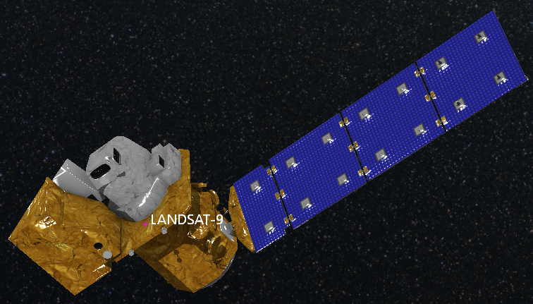
Added GOKTURK1A Added Landsat-9 Added LAPAN-A3 |
||||
| 25 |
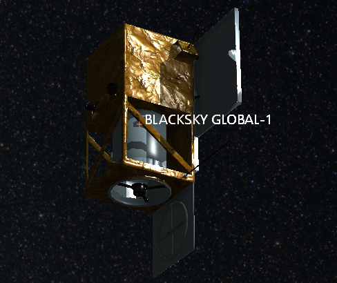
Added BLACKSKY GLOBAL-1 after its recent launch Added KANOPUS-V 5 and 6 after their recent launch |
||||
| 26 |
Added PLANET FLOCKS constellation Added EGYPTSAT-A after its recent launch Modified PRISMA orbit after its recent laucnh Deimos-2 sensor changed name to HiRAIS Added PERUSAT-1 DMC-3 FM satellites have been moved to TRIPLESAT constellation, and SSTL S1-4 has been placed outside of the constellation. Fixed KAZEOSAT-2 quotas SUPERVIEW-1 and 2 catalogue numbers have been swapped |
||||
| 27 | Added GAOFEN-4 | ||||
| 28 | Added GAOFEN-6 | ||||
| 29 | New Tianhui satellites TH1C, TH2-01A and TH2-01B | ||||
| 30 |
Added OneWeb constellation |
||||
| 31 |
Added O3B constellation |
||||
| 32 | Removed VESSELSAT-1 because not operational since 2016 | ||||
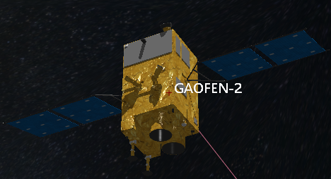
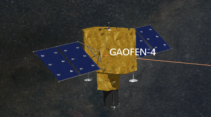
| 33 |
Added 3D model CBERS4, GAOFEN-2, GAOFEN-3, GAOFEN-4, VRSS
|
||||
| 34 |
Added 3D model GAOFEN 2
|
||||
| 35 |
Added 3D model GAOFEN 3
|
||||
| 36 |
Added 3D Model GAOFEN 4
|
||||
| 37 |
Added 3D Model VRSS
|
||||
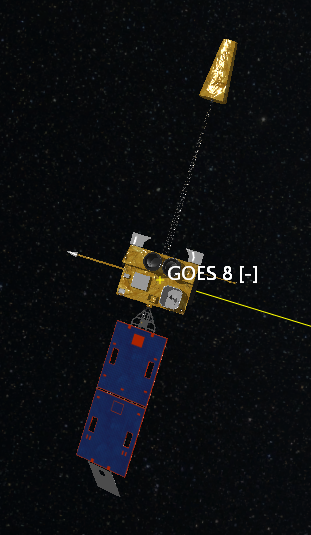
| 38 |
Added 3D Model GOES-8
|
||||
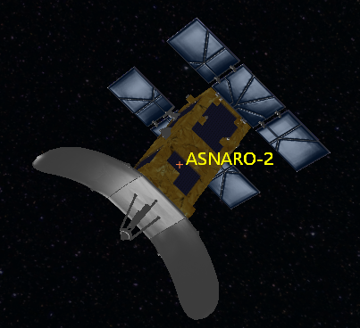
| 39 |
Added 3D Model ASNARO-2
|
||||
| 40 | PAZ satellite absolute orbit numbers aligned with operational set-up | ||||
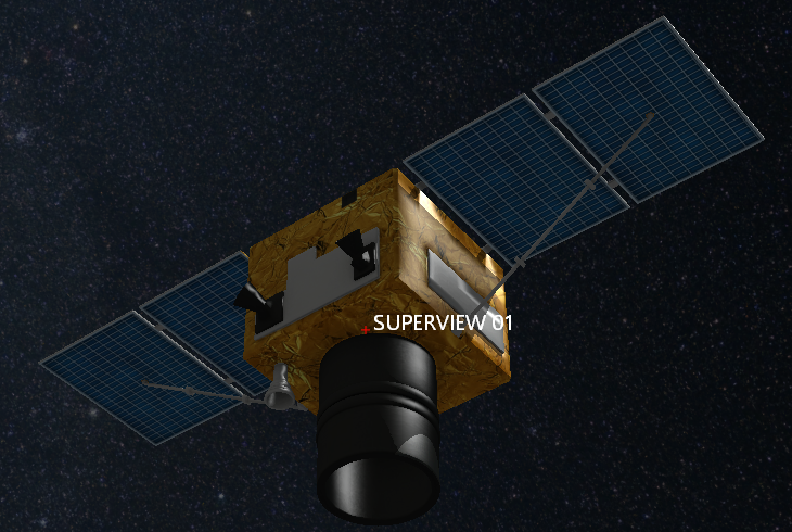
| 41 |
New 3D Model for SUPERVIEW / GAOJING satellites
|
||||
| 42 | Modified SUPERVIEW satellites with Imager MS and Imager PAN instruments | ||||
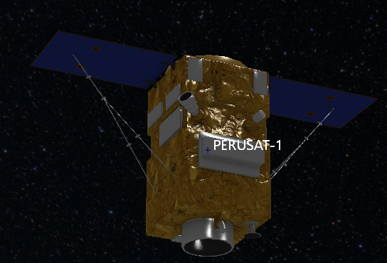
| 43 |
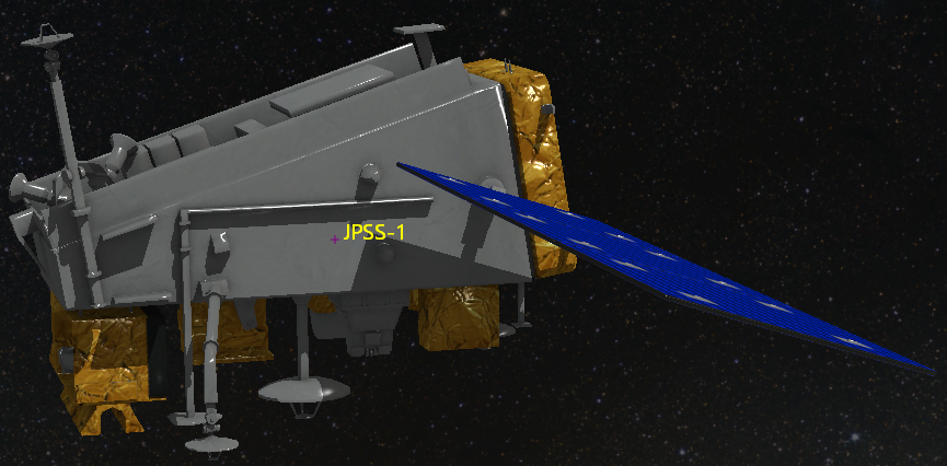
Added 3D model PERUSAT, LANDSAT-9 and JPSS-1
|
||||
| 44 |
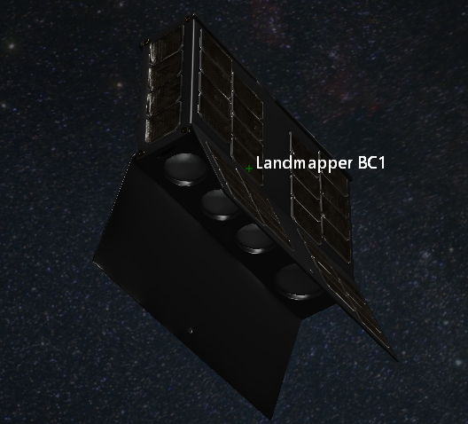
Added 3D models LANDMAPPER-BC and BLACKSKY-1
|
||||
| 45 | Added BLACKSKY GLOBAL-4 after its recent launch | ||||
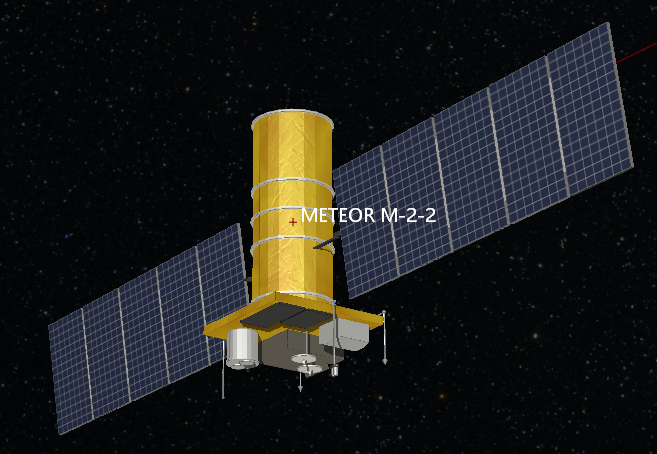
| 46 |
Added 3D Model METEOR M2-2
|
||||
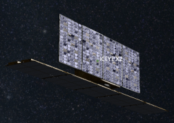
| 47 |
Added 3D model ICEYE-X2
|
||||
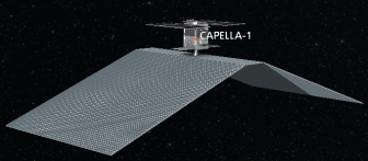
| 48 | Updated RCM constellation orbits to account for Sun Synchronous orbit with Repeat Cycle = 12 days, Cycle Length = 179 orbits. | ||||
| 49 |
Added new 3D model for CAPELLA-1
|
||||
| 50 | Added ICEYE X4 and ICEYE X5 after their recent launch | ||||


Multisatellite Swath Planner - © Taitus Software Italia srl All rights reserved- info: support@taitus.it