|
|

|

SaVoir V11.4.0
| New features | |
| 1 |
SaVoir has been upgraded to support the new Alpha-5 numbering system in Two Line Elements. SaVoir will read the NORAD catalog ID as an alphanumeric string, instead of an integer string. As a result users will not notice any practical difference when handling Two Line Elements.
|
| 2 |
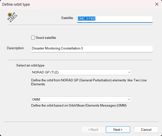
The orbit wizard will now accept OMM messages (Orbit Mean Elements Messages) in XML format in addition to the TLE format
|
| 3 |
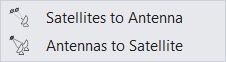
Interference analysis is now possible in two ways, from satellites to antennas, and from antennas to a satellite. The function is available in menu Visibilities / Interference
|
| 4 | New option to export and import application settings to an XML file, allowing to transfer the settings from one computer to another. Option is available under menu File / Import / Application settings ... |
| 5 |
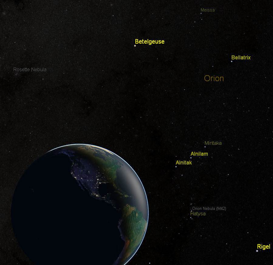
New menu View / Stars catalog / , allows displaying the names of most relevant stars (up to magnitude 5), globular clusters, nebulae and galaxies.
|
| 6 |
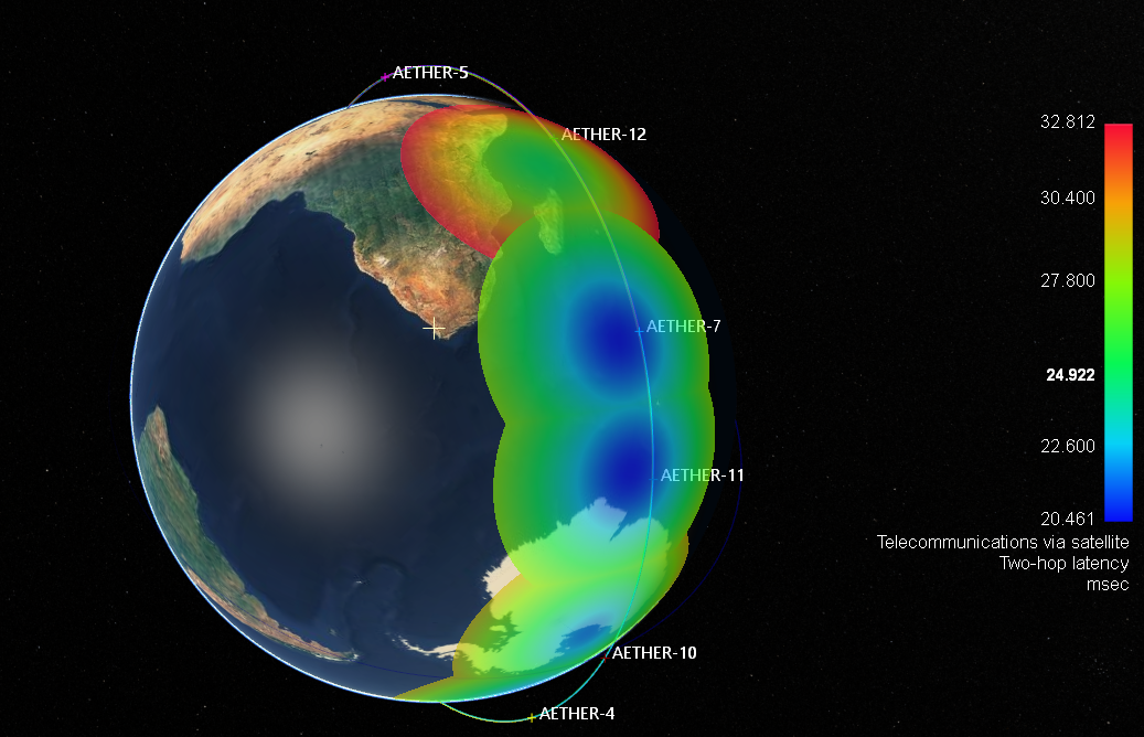
New colour maps Comms Latency. Menu Tools / Color maps / Comms latency / one hop and two-hop.
|
| 7 | New EAGLET2 framing mode, supporting the frame size calculation which is dependent on IRIDE Eaglet2 satellite characteristics, including latitude, instantaneous field of view, gsd, orbit height, number of TDI stages (Time Delay Integration) , and roll and pitch with respect to nadir pointing |
| 8 | Installer can operate now without admin privileges |
| 9 |
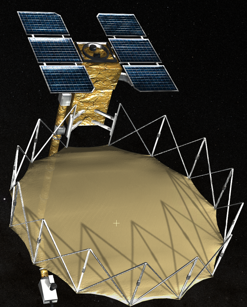
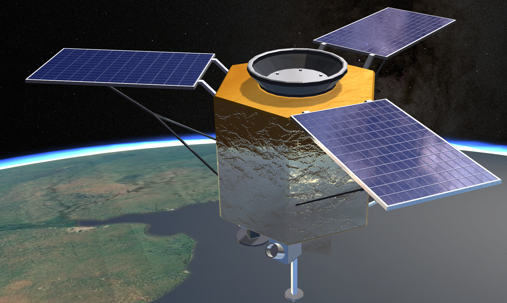
New 3D Model technique for rendering shadows
|
| 10 |
New 3D Model environmental map reflections
|
| 11 |
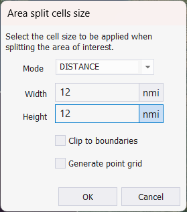
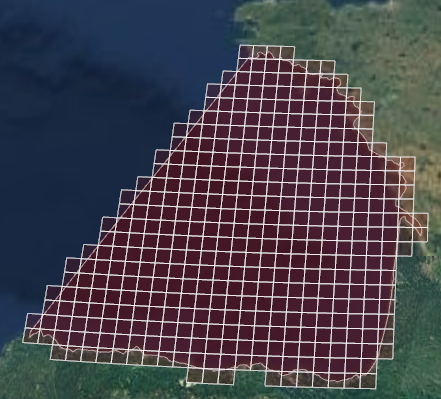
New option to split AOIs in cells based on distance, not only on angle.
|
| 12 |
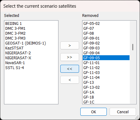
New "Add satellite" feature to allow adding new satellites to the scenario by selecting them from the list of satellites in the SaVoir database. Right-click menu on the satellites scenario: Wizards / Add satellite.
|
| 13 | New option in SaVoir splash screen to show credits of open source libraries. Open the splash in Help / About ... and use the mouse wheel to scroll down te splash window |
| 14 |
Persistence of the application user interface layout (window position, customized menus, panes locations, etc.) are now stored in a separate file in the user settings folder, not using any more the windows register. |
| 15 |
Plugin Charts updates: - New Atmospheric attenuation plots. - New Orbit - Mean motion (revs per day) plots. - New possibility to plot all selected satellites at one, using or not the historical orbit. - New option in colour maps to show the Median and the Percentile statistics in addition to the existing average, minimum, maximum and standard deviation |
| Fixed source | |
| 1 | Numerous bugs fixed and performance improvements |
| 2 | We have removed the FreeImage library and replaced and replaced it with stb and libtiff |
| 1 | |
Multisatellite Swath Planner - © Taitus Software Italia srl All rights reserved- info: support@taitus.it